A grand adventure.
The most adventurous thing I’ve ever done! (And would probably not do again.)
It was incredible, scenic, thrilling and well-organized.
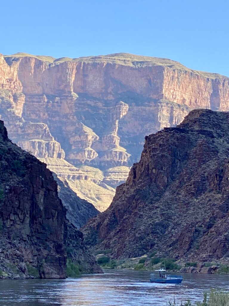
This is what 13 days rafting and camping through the Grand Canyon looks like.
The Adventure Before the Adventure
Our trip started one day before dipping a toe in the cold Colorado River. As part of the registration process, we had pre-booked the shuttle from Las Vegas airport to Marble Canyon. On June 24 we piled into a large van which was part of a small caravan. It seems multiple companies use the same company, Bar 10, to shuttle groups of people out east.
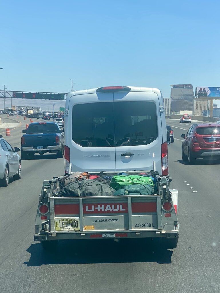
Our luggage was mostly secured in a luggage trailer and we headed toward the Grand Canyon, via the route on the north side.
That route takes a short detour into St. George, Utah, then continues back down into Arizona.
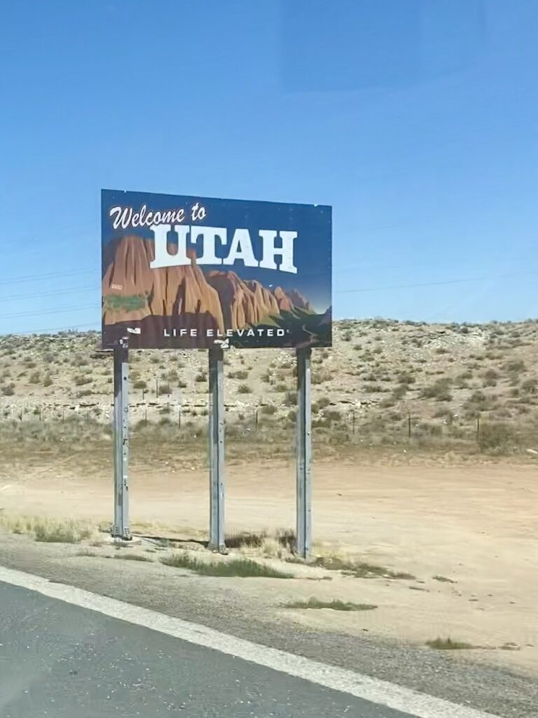
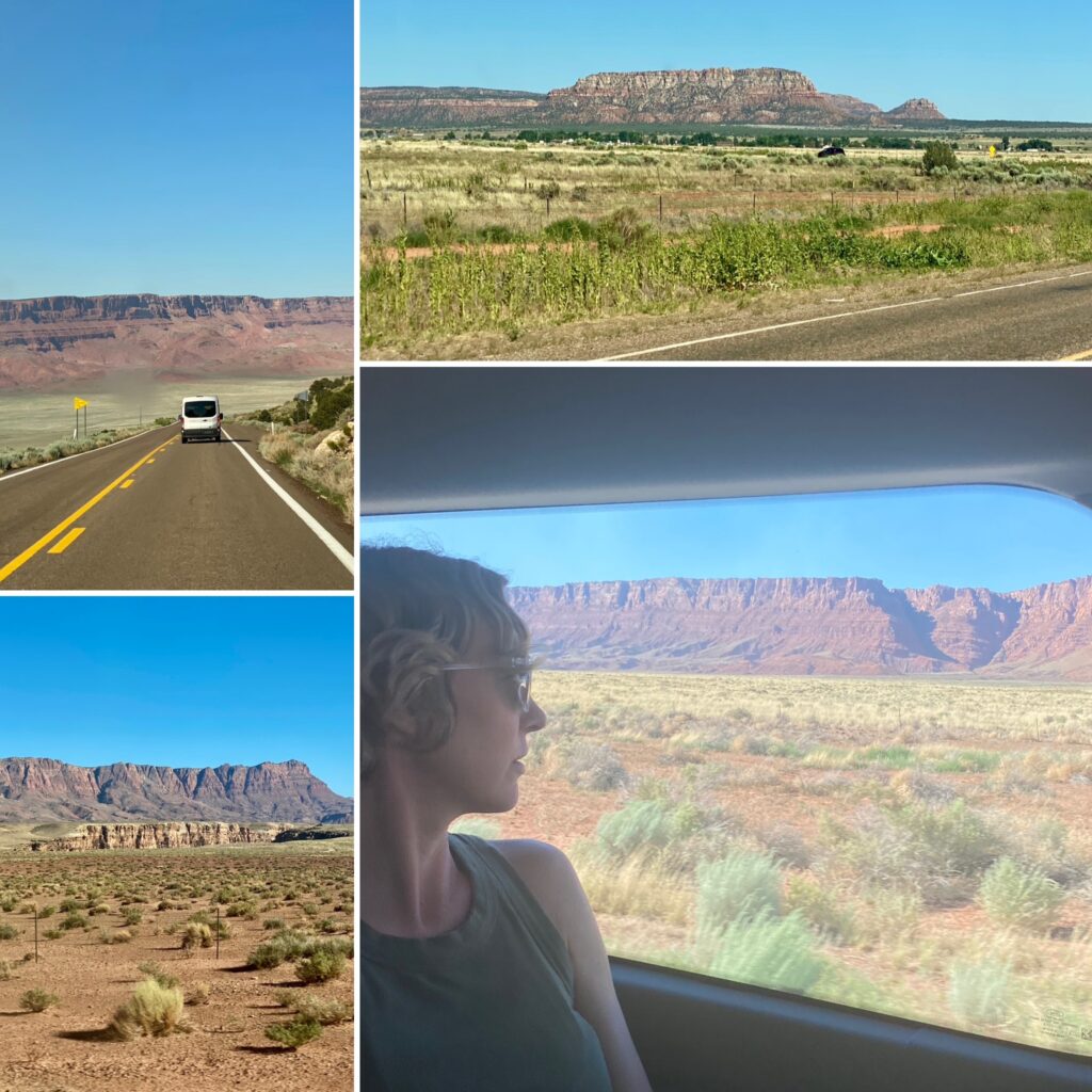
The drive was gorgeous! We had views of the Grand Staircase of rock layers, especially the Vermilion Cliffs layer.
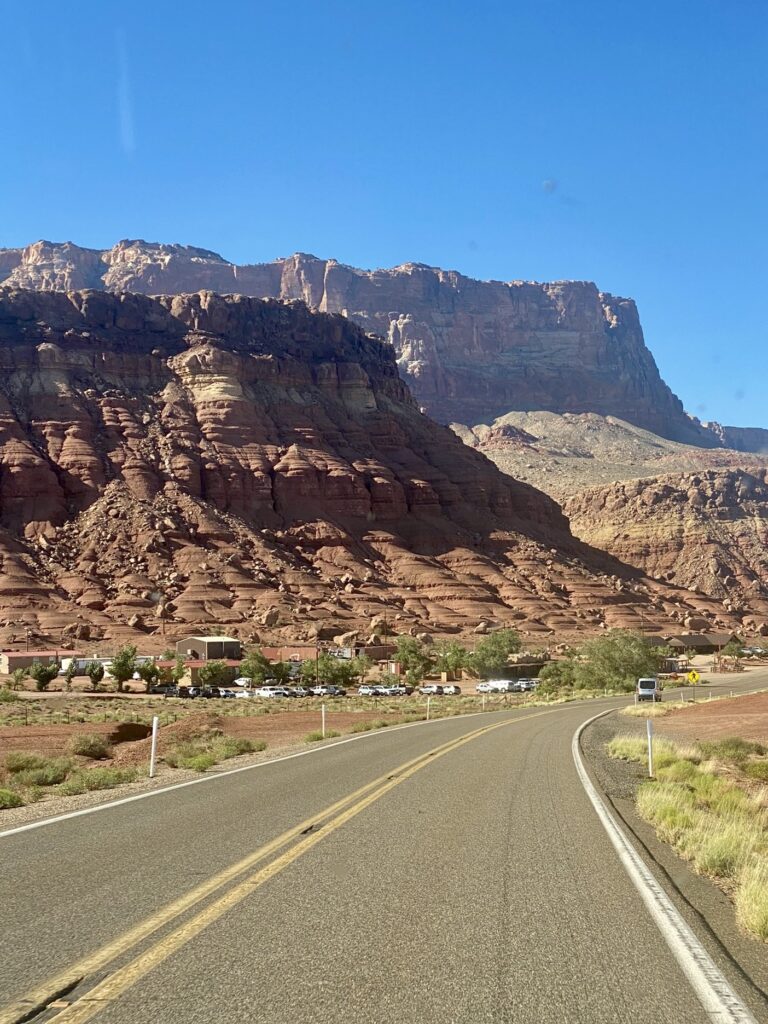
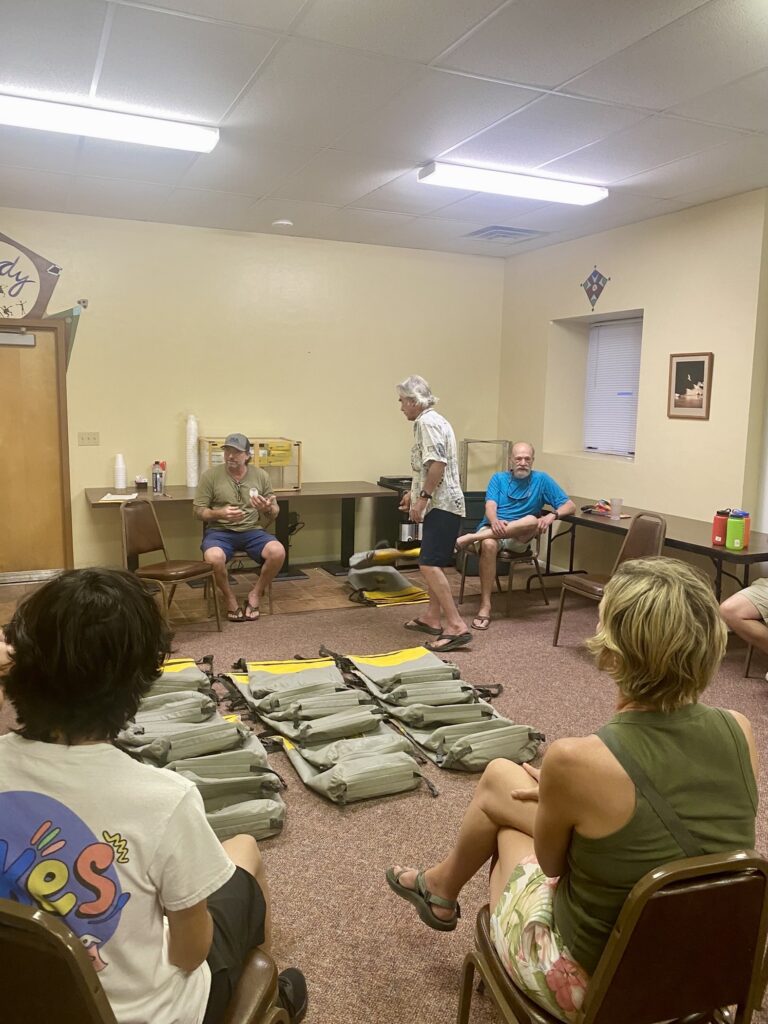
We arrived at our inn near Lees Ferry just in time for dinner and orientation.
The Itinerary
“Full River” = 280 miles
Lees Ferry is the last spot on the Colorado River before the river enters the canyons to the west. Because of this, all full-river trips enter at Lees Ferry and then go downstream to the west. Partial-river trips involve an exchange point, where some passengers leave and others take their place.
For our trip, the exchange point was the Bright Angel Trail, which runs from Grand Canyon Village on the south rim, down to the river at a spot called Pipe Springs.
Passengers on the upper river trip started at Lees Ferry, and then on Day 5 were greeted with an early morning eight-mile hike out of the Canyon.
Those only doing the lower section start with the eight-mile hike down, then raft to the take out point at the end. For our trip, “the end” meant Lake Mead.
We chose the full river, so there was no need to hike in/out and no helicopter rides to/from the river (which is required at some take out points).
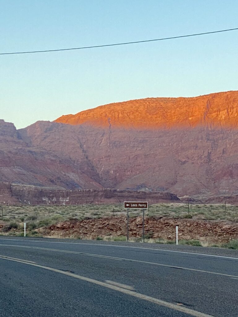
Lees Ferry is roughly 16 river miles downstream from the Glen Canyon Dam that holds back the Lake Powell reservoir, and is named because a man named Lee operated a ferry service there. The ferry operated between 1873 and 1928 and was the spot on the east side of the Grand Canyon for wagon and vehicle crossings.
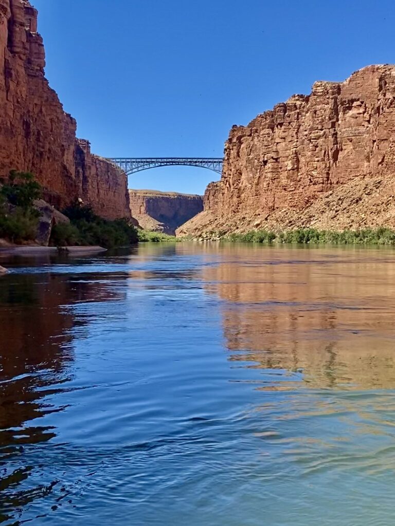
The ferry service was replaced in 1928 by the Navajo Bridge, which crosses Marble Canyon. This is the only vehicular bridge we saw that crosses from the south to the north! We passed under it not long after the oars hit the water.
Lees Ferry is mile 0 and the trip take out point is Pearce Ferry, mile 280, in Lake Mead. Pearce Ferry was also named because of a ferry service, this time run by a man named Pearce. When Hoover Dam was built, Lake Mead submerged the ferry site.
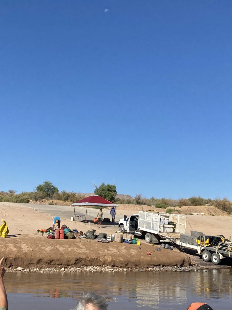
Wagons trying to cross the Colorado River had to go around the Grand Canyon to Lees Ferry or Pearce Ferry. And still, vehicular traffic must either cross at the Navajo Bridge or at Hoover Dam. The Grand Canyon remains an impassable barrier for nearly 300 miles!!
The Flotilla
We booked our trip through Outdoors Unlimited. If you want to know more about the different trip options and deciding factors for choosing a trip, we will be writing a post about how we chose.
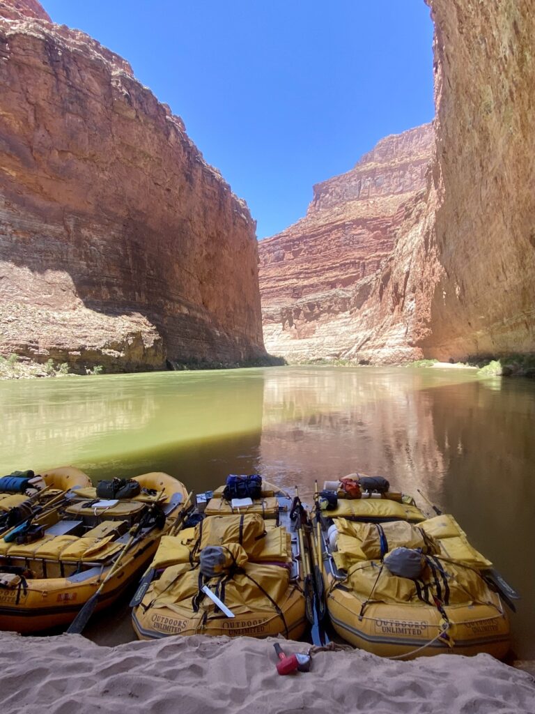
Our group consisted of:
- 2 baggage boats
- 3 oar boats that hold 5 guests each
- 1 paddle boat that holds 6 guests
Each boat is manned by one awesome river guide. Our guides were knowledgeable about everything! Geology, history, native populations, weather, river conditions, and most importantly river safety.
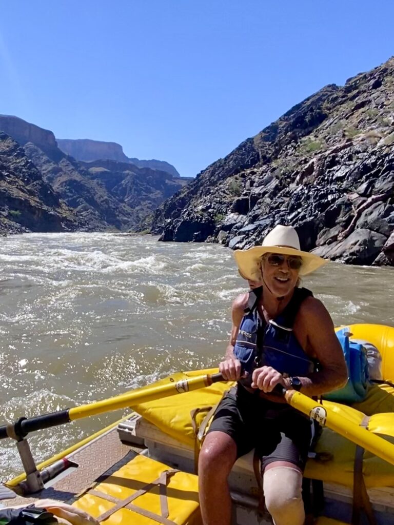
How do you know which boat to get on?
Well, the three of us reserved and paid for oar boats. (My good friend, Allison, joined us for half the trip. It was so fun rafting with people you know while meeting new friends!)
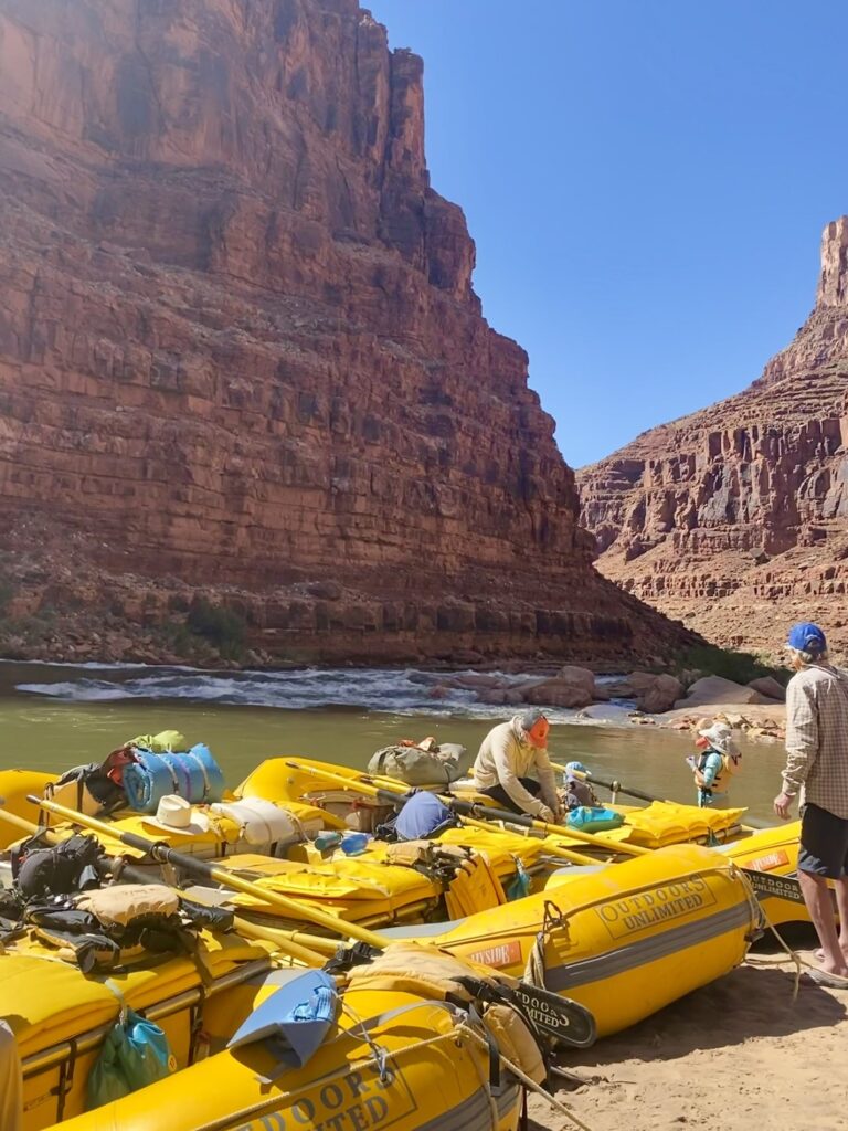
Others reserved seats for either the oar or paddle boats. If someone did not want to paddle, that seat would open up for those that were interested.
The guides recommend switching up boats throughout the trip. So, basically we would stand in front of the boat we wanted right before loading time or chat with the guide and say you wanted to ride with them that day. This style of reservation became popular during our trip and sometimes the boat we wanted for that day would be full. But with so many days on the river we had plenty of opportunity to ride with everyone!
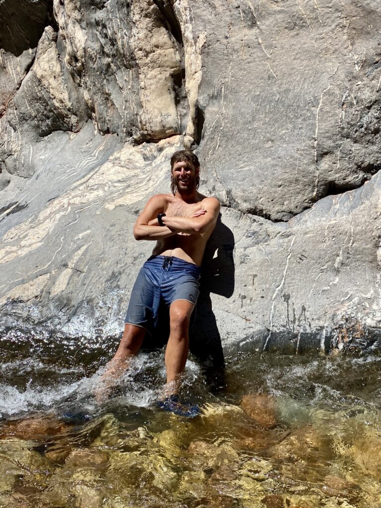
We really enjoyed mixing it up and getting each guide’s different perspective about the Canyon, their own river stories, and style of rowing through rapids.
River Adventures
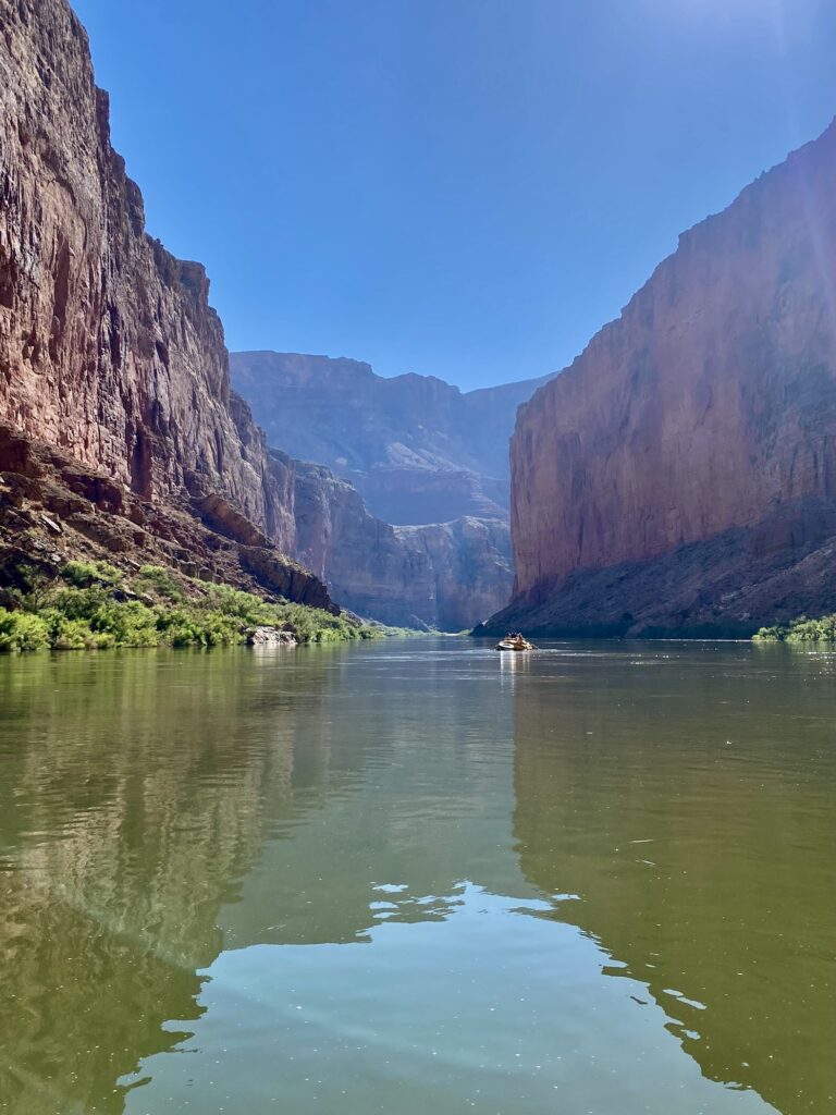
The water comes from 200 feet below the surface of Lake Powell, and is essentially snowmelt from the western slope of the Rockies. So let me be honest – it was cold!! It hovers around 50 degrees at Lees Ferry and might get a little warmer as it moves.
Putting the cold temps aside, being on the river was the most appealing part of the Grand Canyon experience. (Wait! The people too but I’ll get to them later!!)
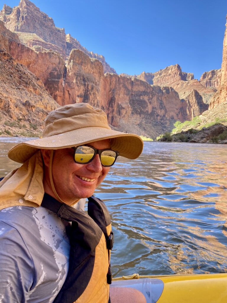
We typically travelled about 20 miles per day, until the last day when a motorized jet boat covers roughly 40 miles, taking us to the end of the river and on to Lake Mead.
I had done some white water rafting before and love it! Seeking thrills through rushing water, roller coaster drops, paired with lazy stretches just floating between rapids.
Do you know why they call it the Colorado River? The color of the river during monsoon periods. The mud and silt mixed with the river and it turns a reddish brown color.
The Grand Canyon has 250 rapids, of which over 80 of them are considered “major” rapids.
Rapid Grades
This is a good time to talk about the classification of rapids. Rapid ratings refer to the level of technical ability needed to get through. In the Grand Canyon, all the rapids are passable. If a rapid is rated higher, it just means it is more technically challenging to navigate. There might be some “sleeper” rocks hiding underwater or boulders jutting out above the water.
The Grand Canyon uses the Marston scale to indicate the range of difficulty. That is a 1-10 scale, with 10 being most difficult. Dividing this figure in two roughly equates to the I-V scale of the International Scale of River Difficulty. So a Class 9 or 10 in the Grand Canyon is essentially a Class V rapid.
Favorite Rapids
All the big ones! Of course! I have no photos of these for obvious reasons: I was using my hands to either hold on or paddle through. But if you’re curious, YouTube has some great videos of boats passing through these sections!
- Crystal (10)
- Lava Falls (10)
- Hance (8)
- Hermit (9)
Plus the Roaring 20s were great: a series of rapids between Miles 20-29. On Day 2, we were on the paddle boat, propelling ourselves through a number of moderately-difficult rapids. It was an exciting day with tons of fun whitewater. Woohoo!
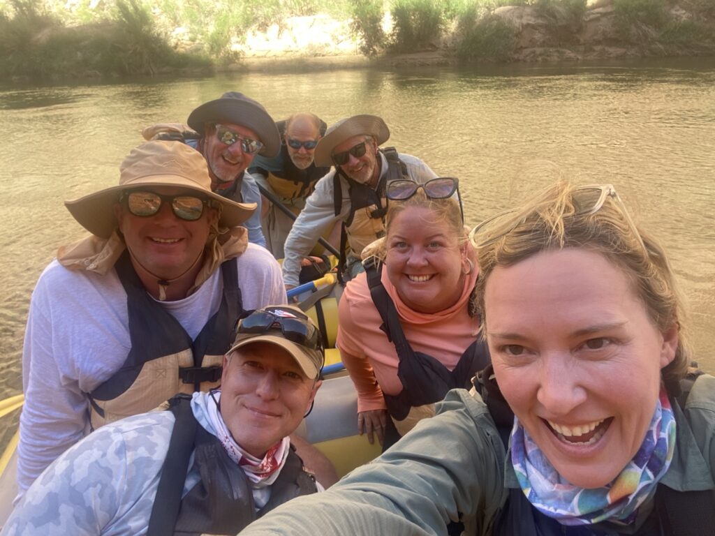
On Day 6 we went through the Gems rapids, which were a fun set like the 20s, starting with the technically-difficult Crystal Rapid. We were not paddling that day but the frequent rapids made for an exciting morning.
Something to consider when comparing the upper and lower trips: the rapids are not as big on the upper trip. The upper canyon had more frequent but smaller rapids. And the lower canyon had bigger rapids but more spaced-out action. So that section was both big and also slow.
The water level was running high so the river was fast and fun! The water is released from Lake Powell based on the hydroelectric energy demands. The guides informed us that the river was running at about 19,000 cfs (cubic feet per second). That means it was on the low side of a high flow, as high flow is 16,000-35,000 cfs.
Slow Times
What do you do when you don’t have to hold on?
Relax! Stare at the rocks, listen to stories, watch for wildlife, jump off the boat for a swim, have water gun fights, and participate in lively boat discussions.
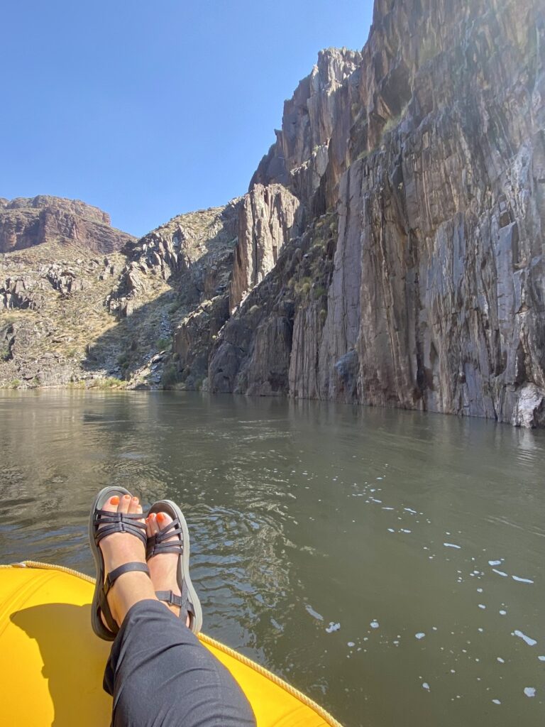
One day on the paddle boat we had a fun time guessing what major news event we might be “missing out on.” But honestly, everyone was loving how disconnected and unplugged we we all were.
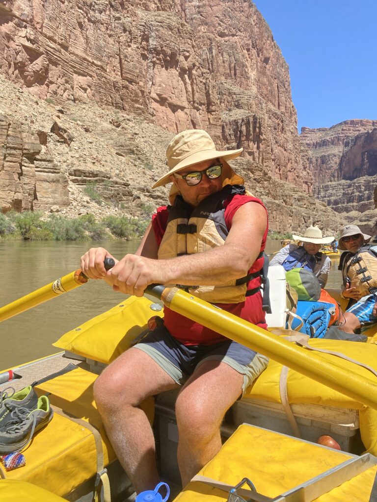
The guides also gave everyone a chance to try out the oars. It gave us an appreciation for how difficult their work is: both skillful and strenuous.
The Canyon
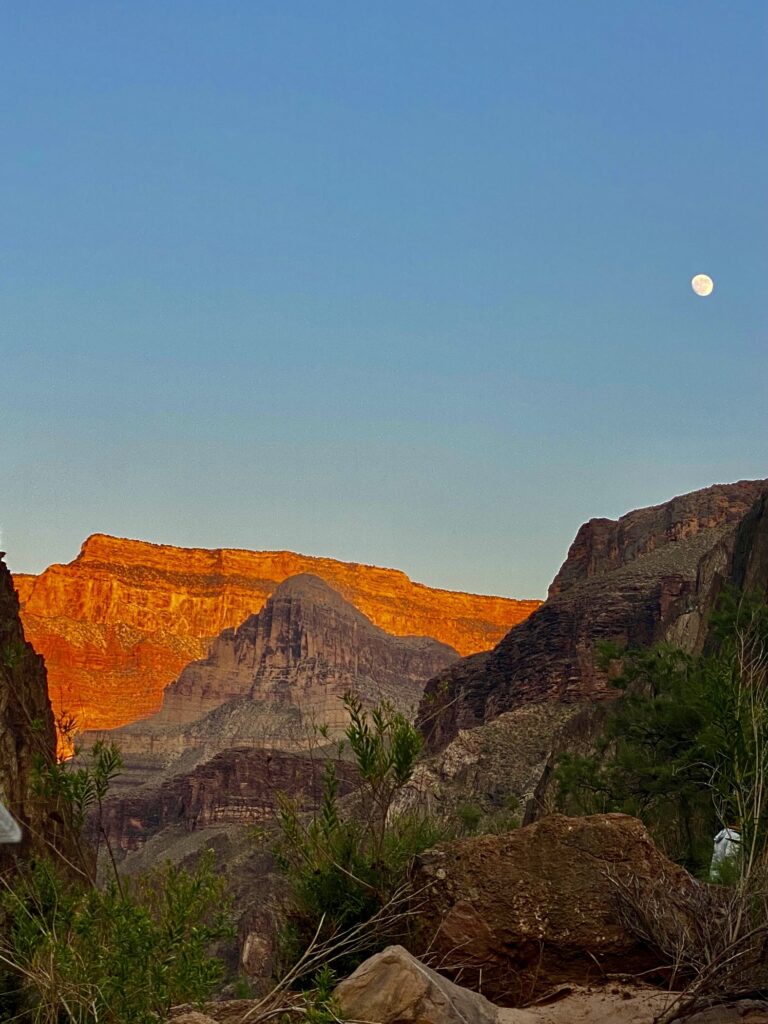
We were surprised to find that the Canyon was different than we expected: wide and vast in many places and much narrower in others.
Since we had each visited the South Rim at various times in our lives, we each had created an expectation in our minds of what the Canyon would look like from the bottom. We thought it would be a tall, narrow corridor with the river at the bottom.
Instead the heights were staggered. The Canyon at its widest point is 18 miles across! Most of the time we could not even see the top rim of the Canyon. A mile above us, and typically more than five miles away from the riverbed, our view of the rims was usually blocked by other tall, impressive cliffs.
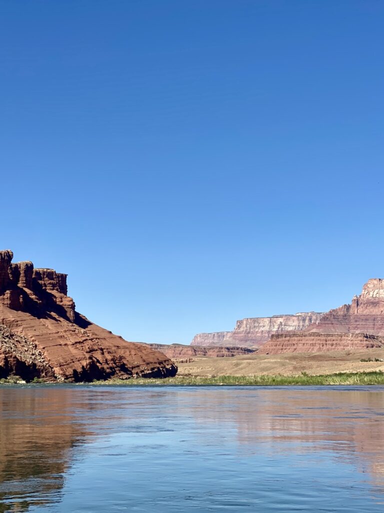
When the voyage begins through Marble Canyon, the rims are just a few hundred feet from each other, and also just a few hundred feet tall. As we moved down river, the Canyon grew in depth and width with many side canyons, slot canyons, large washes, and rivers that intersected with the Colorado River.
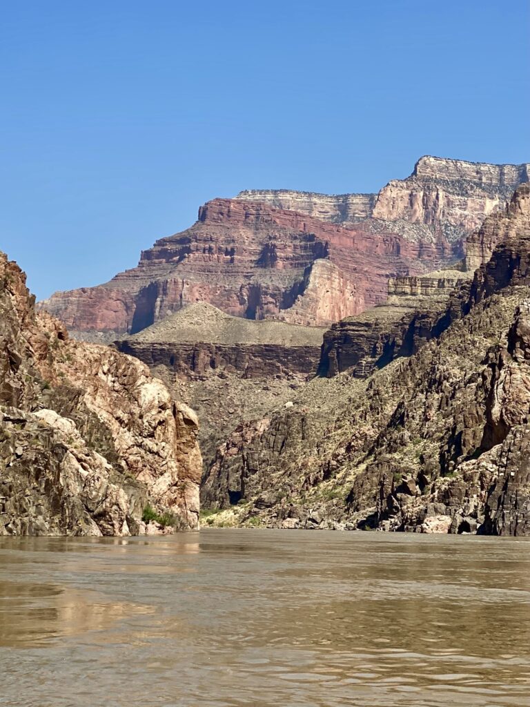
These were the places we explored during our daily excursions.
Day Excursion Adventures
Each day looked and felt different. Not only was the geology changing as we moved west, but the amount of time on the river changed, too.
Some days we would spend all morning in the boats and other times our first hike was just 10 minutes down river.
Lunches
Around midday we would stop along some shady area for lunch.
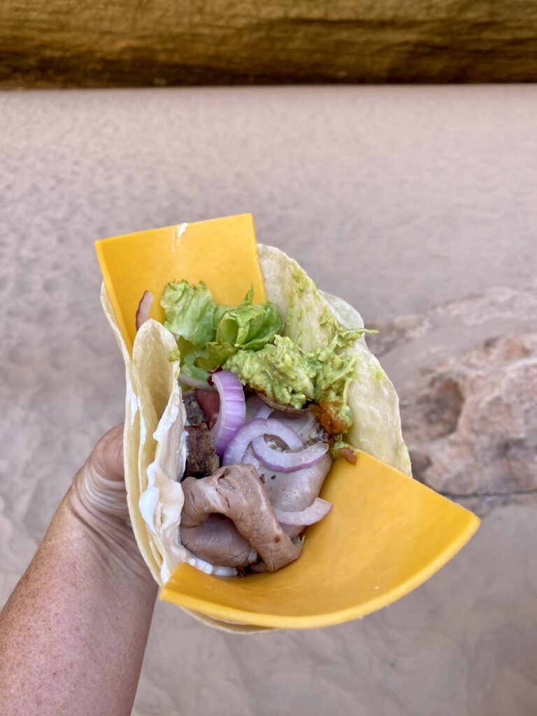
Lunches were fairly quick and delicious. We typically had make-your-own deli sandwiches and wraps.
One of my favorite lunches was guacamole chicken wraps. So smart to mix up diced chicken into the avocados, so it was easy to scoop into a tortilla.
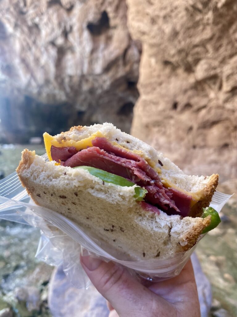
If a longer hike was anticipated, then campers would make a sandwich that morning and grab some snacks which were distributed at lunchtime.
The Little Colorado River
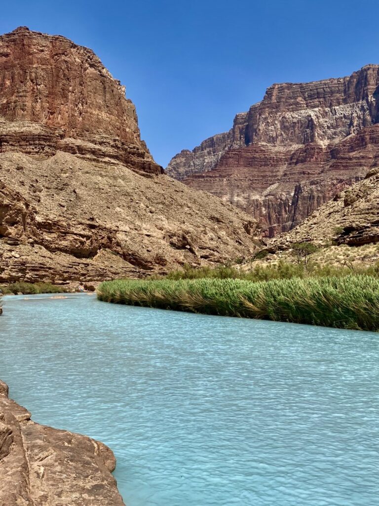
This was a special and magnificent space.
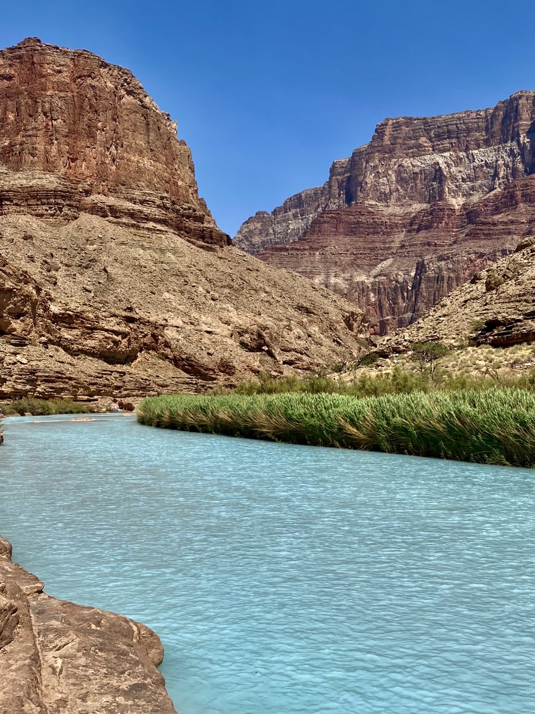
After the White Mountains snowmelt ceases in early May the river drops its silt load and runs clear. That means that the Little Colorado River, a major tributary, was a brilliant sky blue color, fed from Blue Spring.
It was a short hike up to the river from where we “parked” the boats. I slipped once and got blue mud on my knee. I was not injured and we had a blast fastening our life jackets on as a diaper and floating down the mild current.
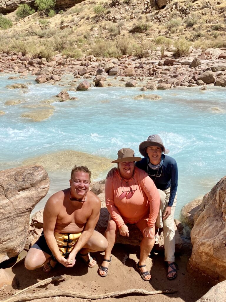
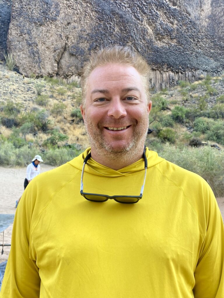
Corey led a 10-person floating train down once and was revered by the kids for the rest of the trip. They also loved his bright yellow shirt and nicknamed him “Minion”.
Petroglyphs
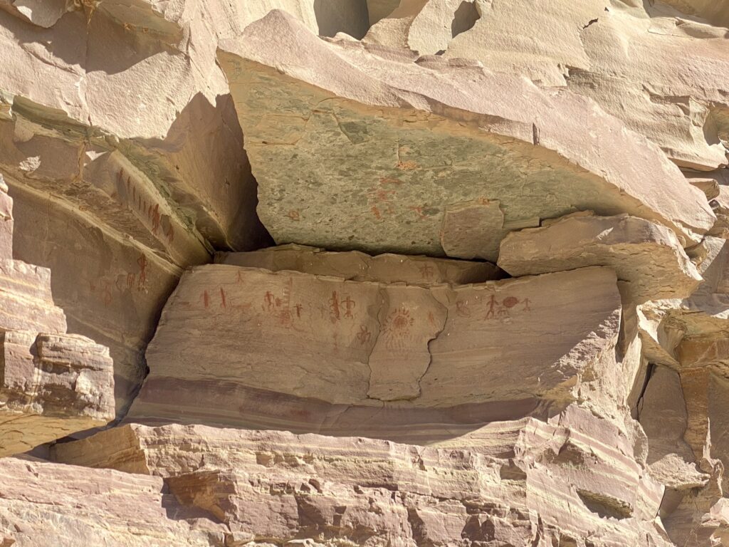
We hiked a few different trails that led us to ancient pictographs and petroglyphs – yes we saw both.
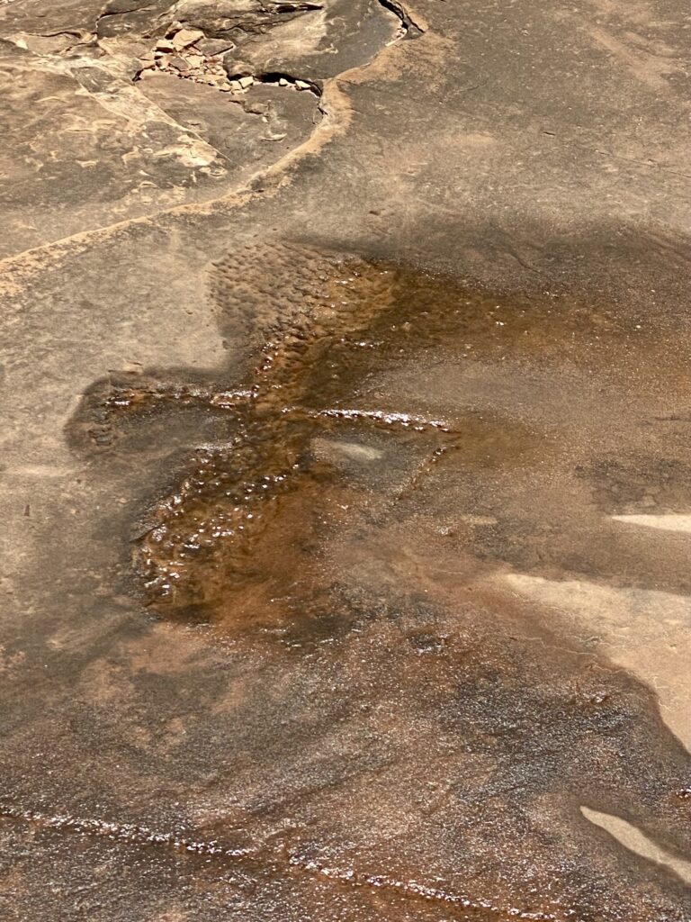
Petroglyphs are carved into the stone, and pictographs are painted on. Short hikes from the river led to examples of each, as well as a hollowed-out stone that may have been used as a “birthing chair”. These places were treated with reverence, and we spent time contemplating those who formerly occupied the land and held these spots to be sacred.
Bright Angel Trail
Corey and I experienced Day 5 in different ways. With Allison ending her upper canyon journey and walking out, Corey hiked with her to the exchange point at Havasupai Gardens (formerly known as Indian Garden). It is about the halfway point between the South Rim and the river, although the hardest part of the trail are the switchbacks closest to the rim.
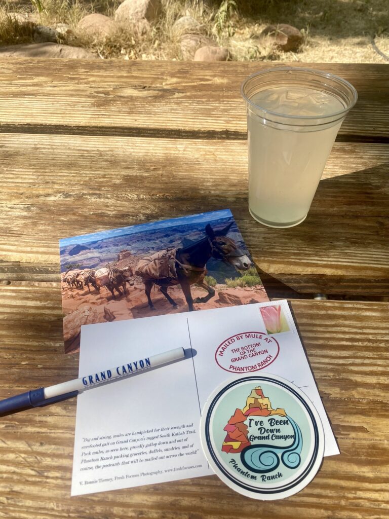
I said goodbye to Allison back at camp and crossed the Silver Bridge, one of the two pedestrian bridges to Phantom Ranch on the north side of the river (these two suspension bridges are the only bridges mid-Canyon). I got to have an ice cold lemonade and send some post cards to family. The mail is picked up and brought out of the canyon by mule!
I met up with the rest of the group a couple of miles down the trail. The boats were on the beach as we awaited our new companions hiking down into the Canyon.
Throughout the trip we visited several waterfalls. Here’s some highlights:
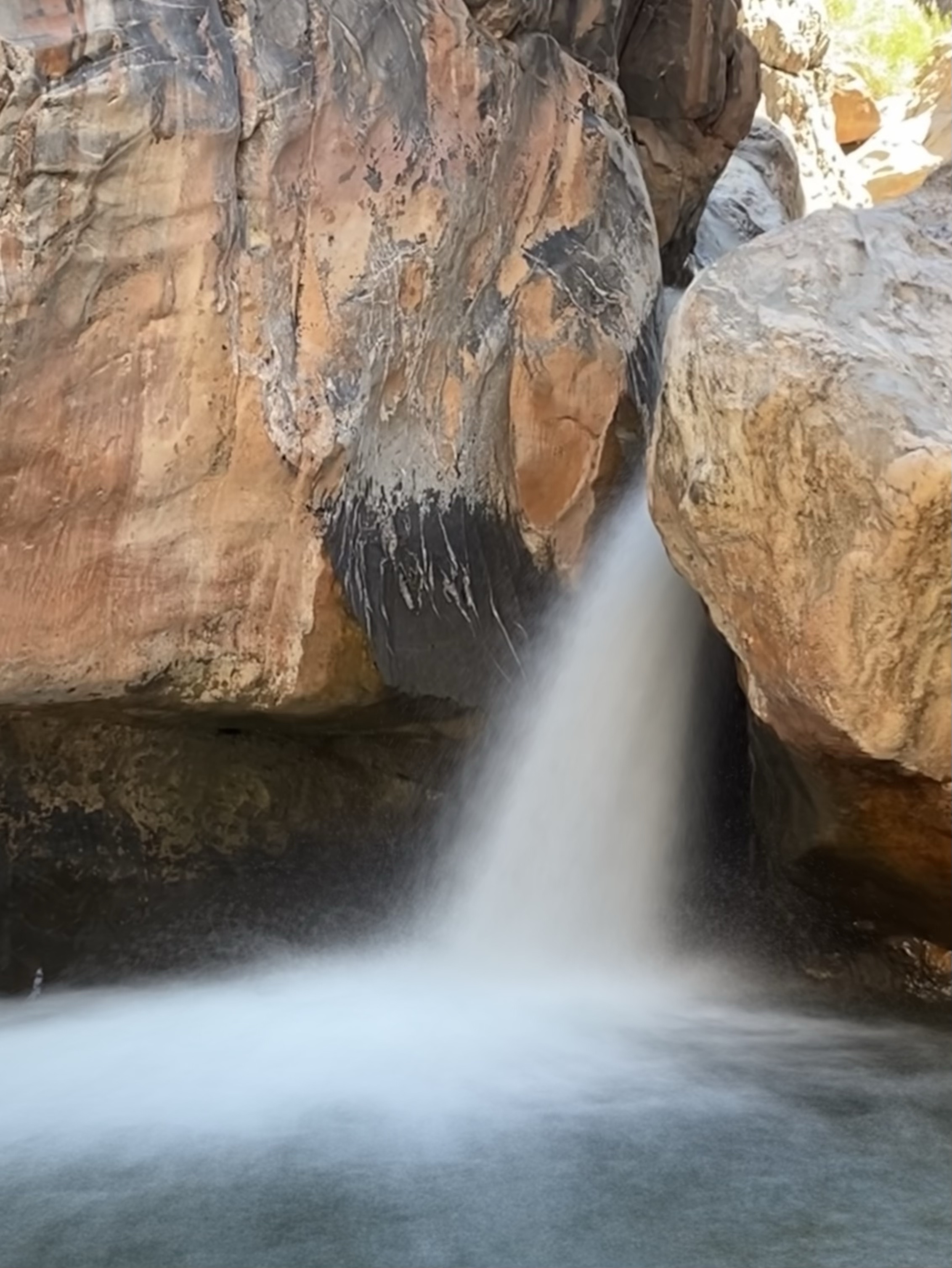
Shinumo Creek Falls
This was a tougher wet hike as the stones in the river were quite slippery. Once we arrived at the falls we frolicked in the blue green pool and some people even jumped off the rocks.
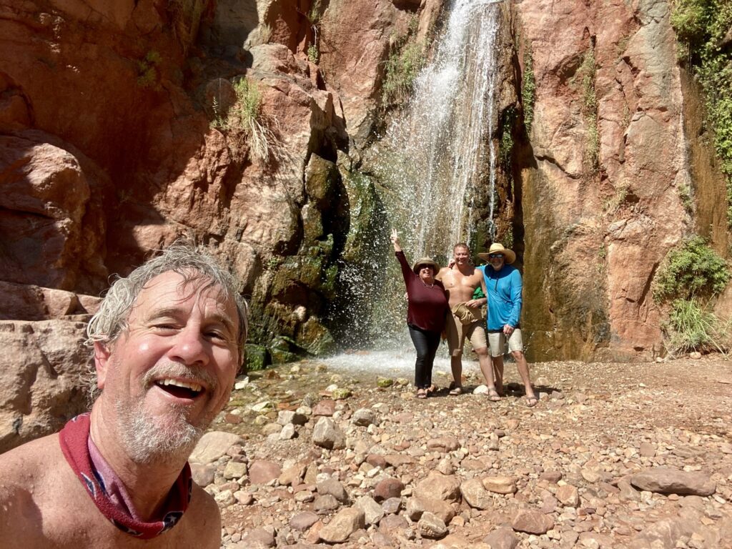
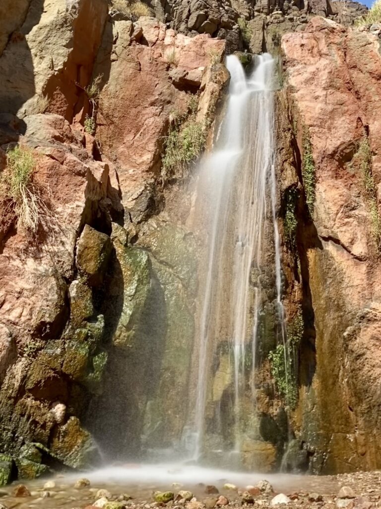
Stone Creek Falls
This was a pretty easy hike from the river and it was fun to cool off under the cold steady stream.
Elves Chasm
This was a short and moderate boulder climb up to a fun swimming hole and waterfall.
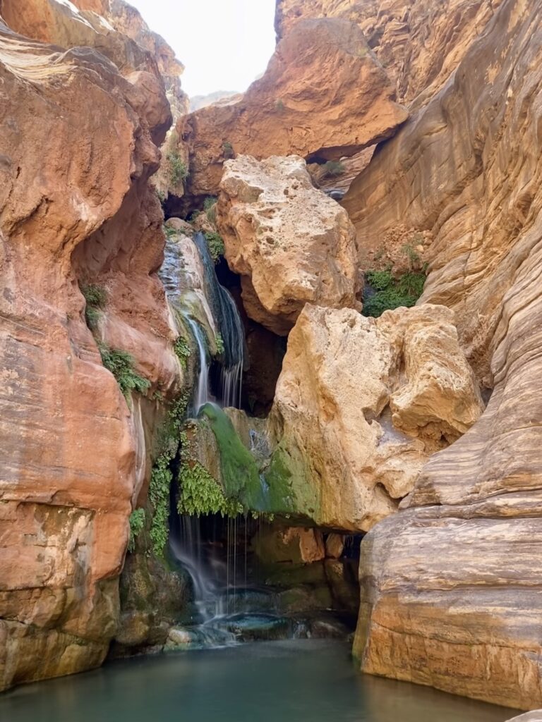
The water was clear and had an easy “ramp” to walk right into the deep pool. swimming here felt great! Plus the views of the spring dripping down the rocks looked magical.
Deer Creek Falls
Deer Creek Falls is less than a five minute walk from the beach which makes it a beautiful and accessible waterfall.
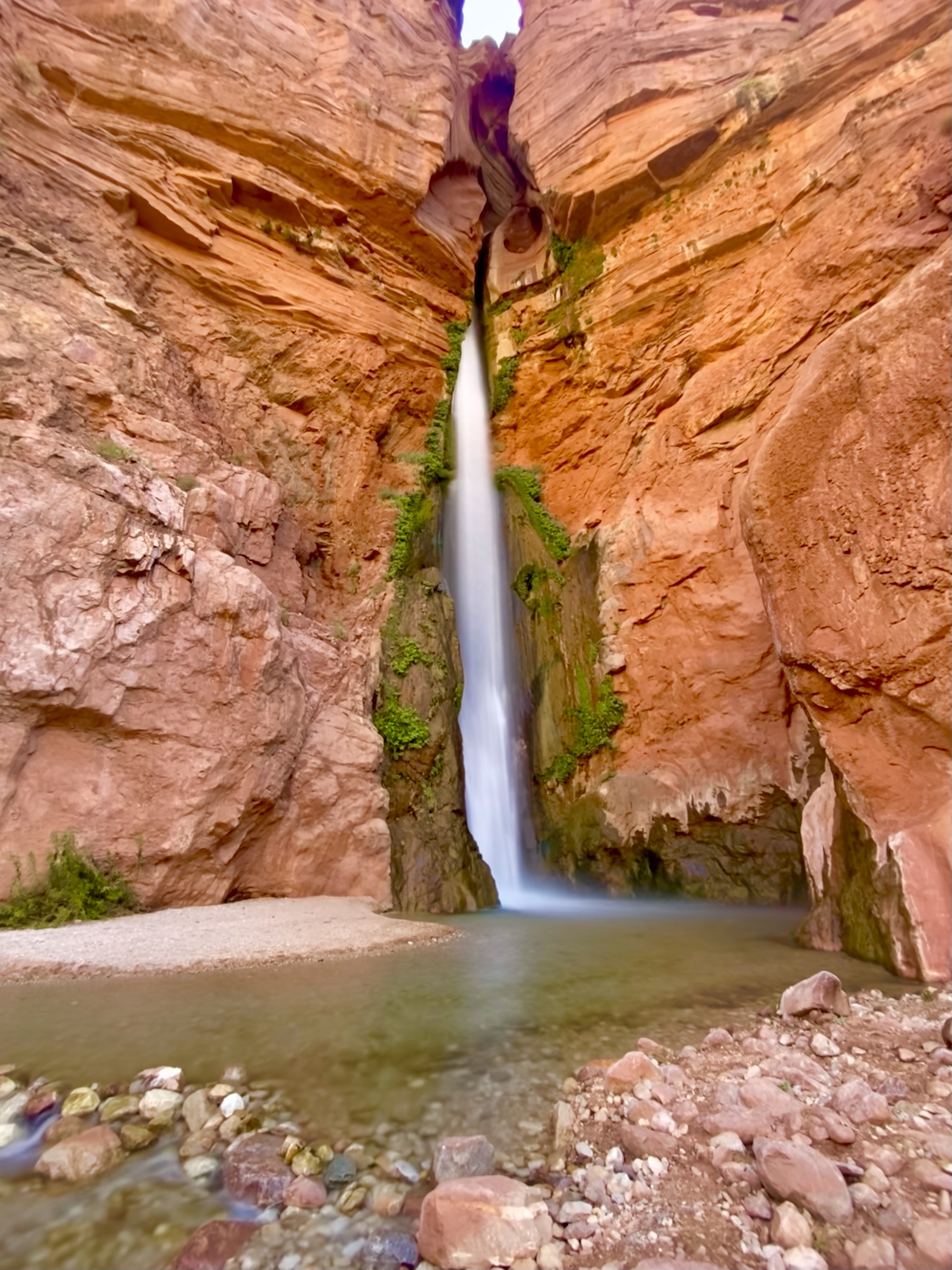
Corey and I split up on this excursion. There is a nice waterfall at the bottom, and a much-larger one that can be reached by following the creek. Corey opted for the longer hike, which involved hiking a narrow section perched above a 200-foot slot canyon. The guides suggested that anyone with a fear of heights should just stay and enjoy the falls from below. So that’s exactly what I did!
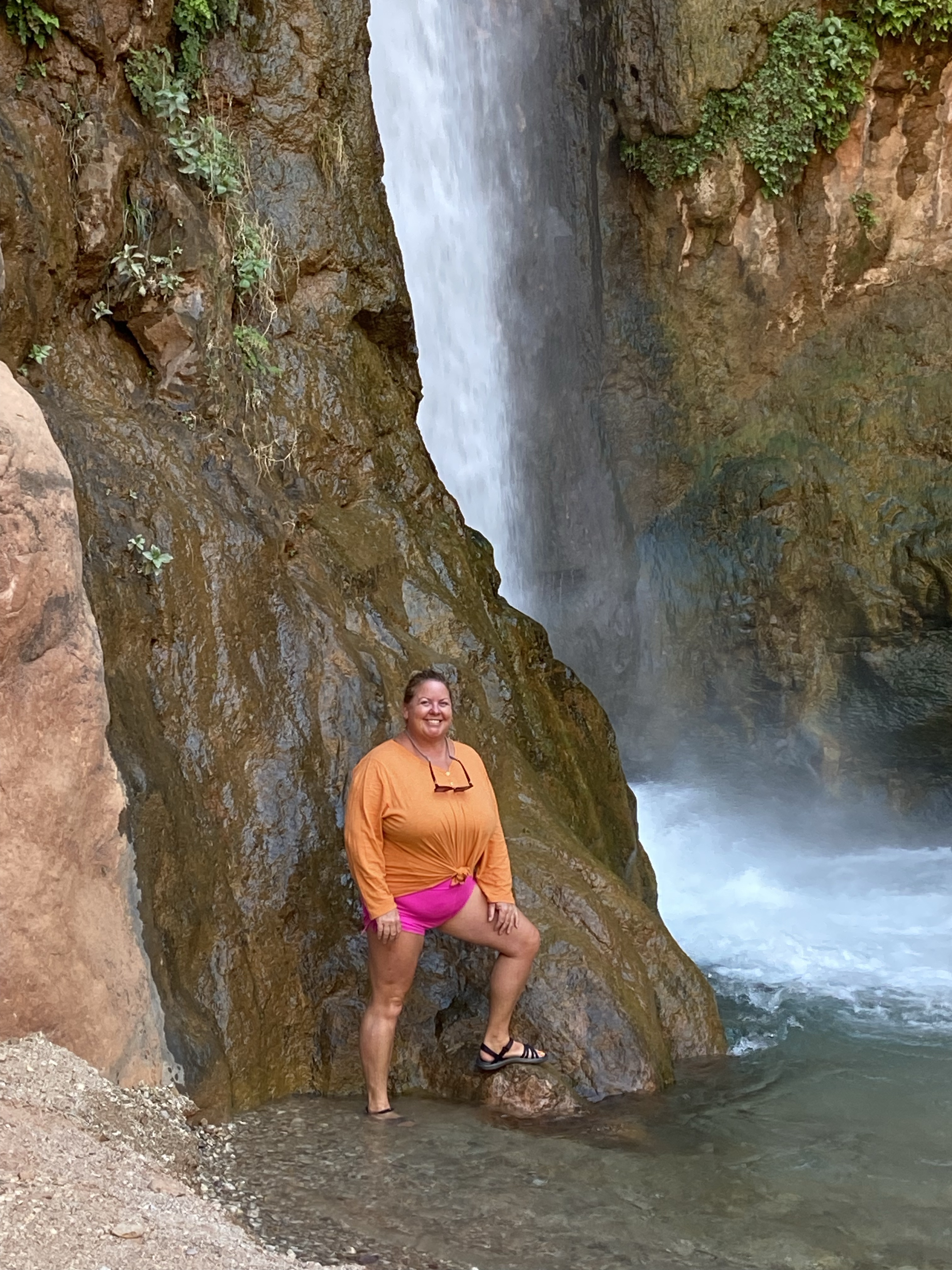
The waterfall was powerful and created a cool mist in the vicinity. such a nice place to chill out for a few hours!
Havasu Creek
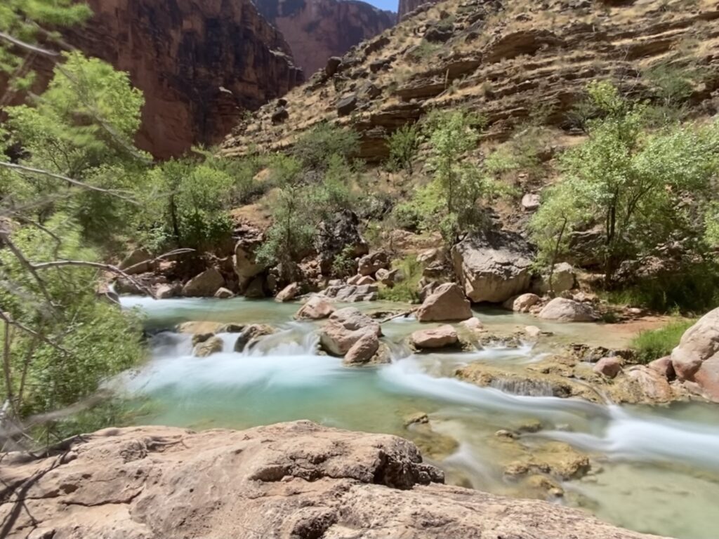
This was another special area within the National Park. It is a long valley with cascading water falls that fill blue-green pools. It’s a day filled with frolicking, hiking, and lounging.
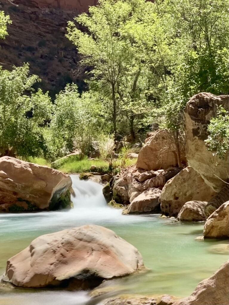
Getting to those pools is tricky from the boats though. There is a small rapid just downstream and there is no beach for the boats to attach to. So we had to climb onto the shelf-like walls from the boat and take the rock steps up and over to the canyon, then follow a path along the walls. The path crisscrossed the river a few times.
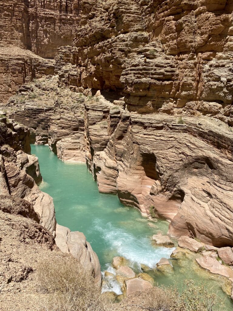
It was only about a 25-minute walk to the popular bathing area.
The trail continues onward to Beaver Falls and Havasu Falls. Although Havasu Falls is one of the highlights of the Grand Canyon area, it is impractical to reach from the river. It is nearly seven miles up Havasu Canyon, on a trail that involves multiple creek crossings. The falls are also on Havasupai land, who have an separate permit process and fee. Better to drive to Supai Village, stay in the campground there, then try the hike without needing to worry about the flotilla!
National Canyon
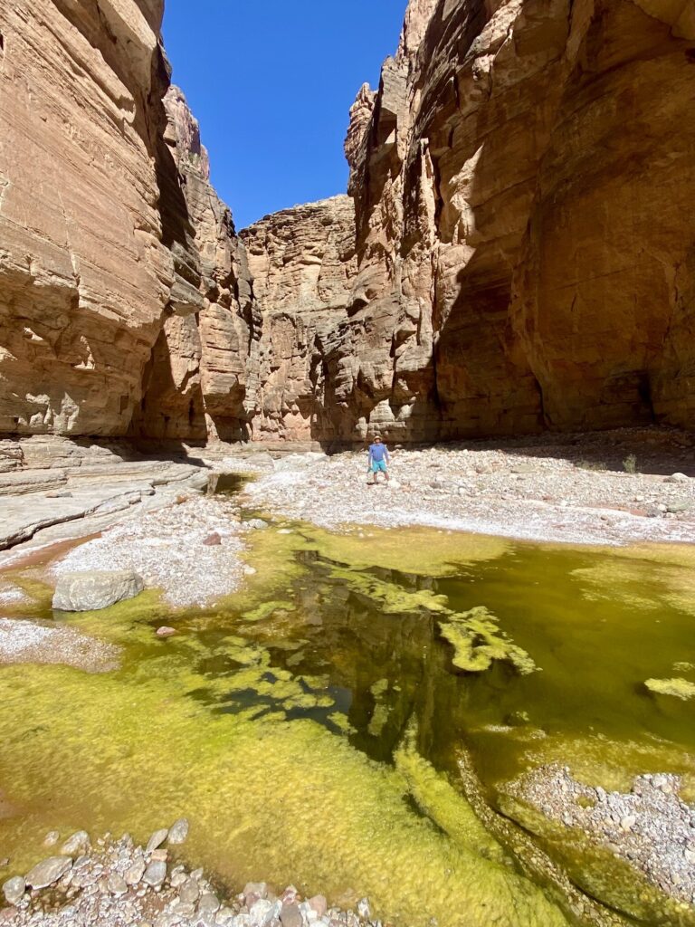
Our side hike on Day 10 was longer and dry. If you stayed dry, then you did it right!

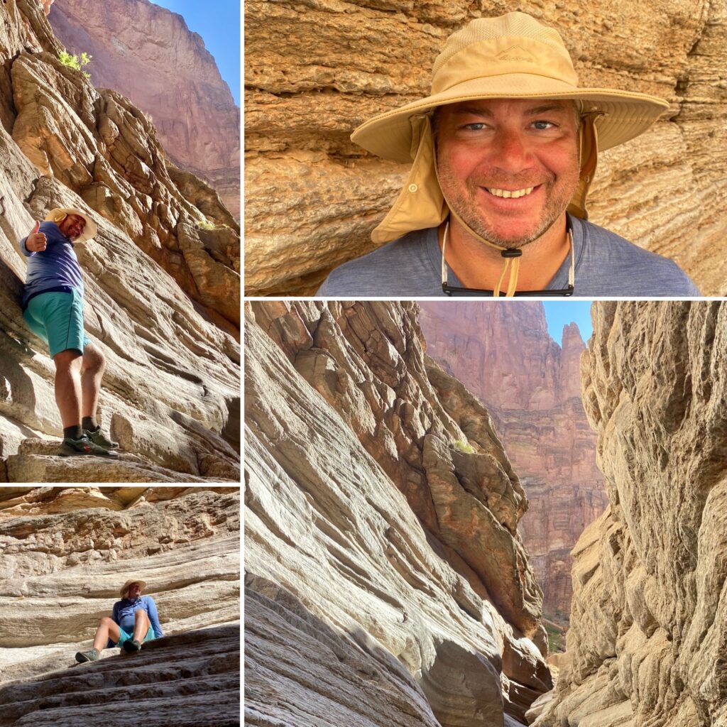
We walked along various sized rocks for about 35 minutes through a large wash. As we progressed through, the canyon became narrower until we reached a section so narrow that one could stand with their feet spread out touching each side.
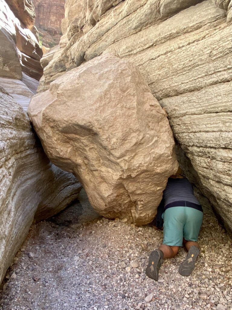
Unfortunately, a large boulder had recently gotten stuck in our path. So Corey and I and many others decided not to explore beyond that big rock.
Travertine Canyon
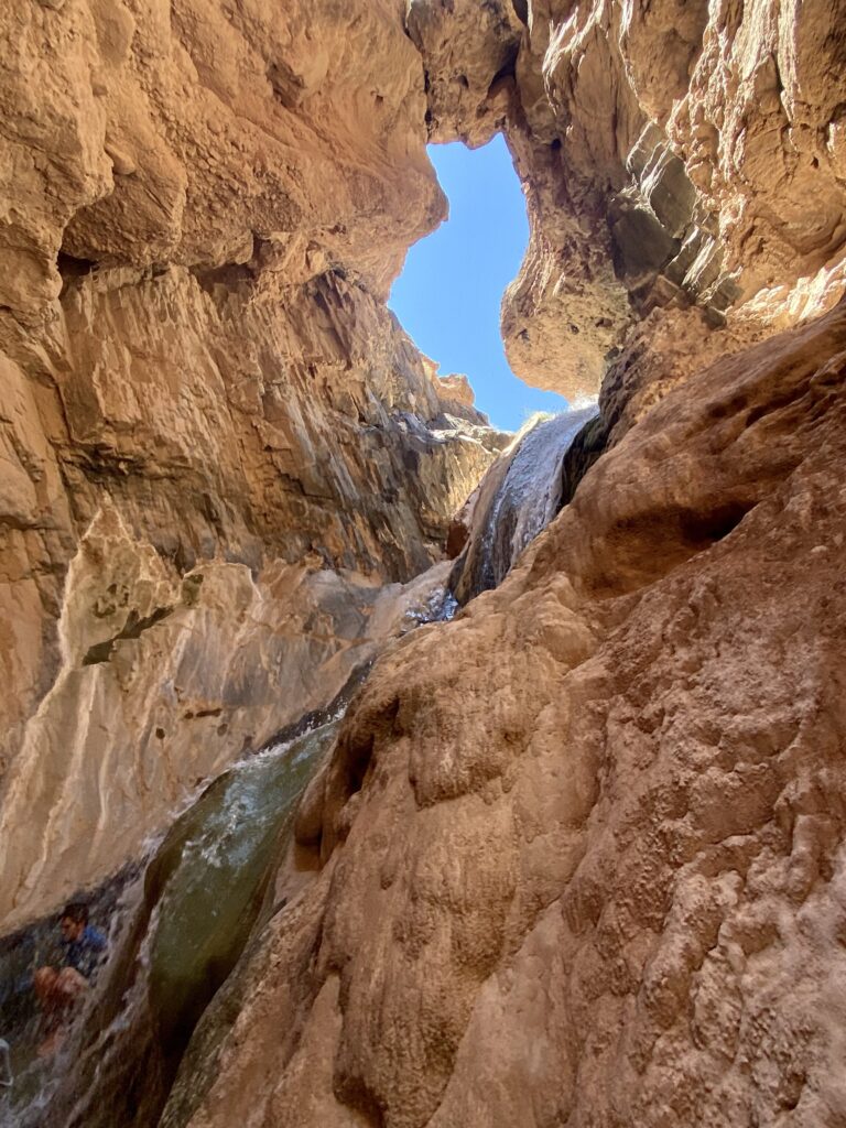
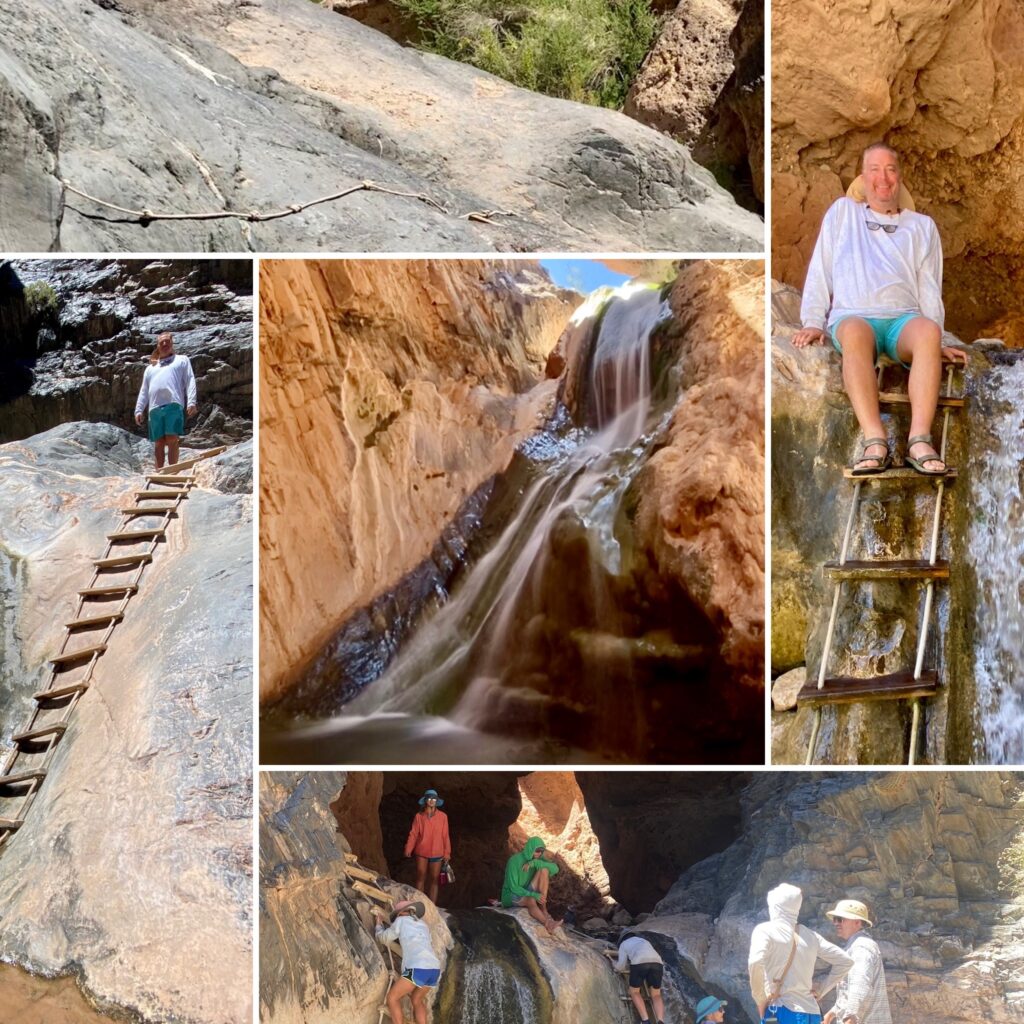
This was one of the more adventurous waterfall hikes. Only a few steps from the beach, a large boulder looms overhead, the start of a Via Ferrara course of ladders and ropes to assist climbing up the wet rock face. We were rewarded with a 30 foot waterfall and a shady grotto in which to enjoy lunch.
The days went by fast and the nights seemed to last forever. I was often awake even before the 5 AM blowing of the conch shell to alert us that the coffee was ready. Read all about the camping info in Part 2!
Really like your blog
Well written
Thanks for sharing
Thank you!
The Grand Canyon is so beautiful. Thank for sharing your experience with us.
It is such a beautiful place. When I close my eyes I can still picture waking up to the sun lighting up the reddish-orange cliffs around me.
Thanks for sharing 🙂 I have been to the Grand Canyon when I was in my teens and it was wonderful to see the Canyon itself and we did a river cruse from the Hoover Dam down to Lake Mead which was fun, glad you enjoyed your time there 🙂